Education


Featured Work
-
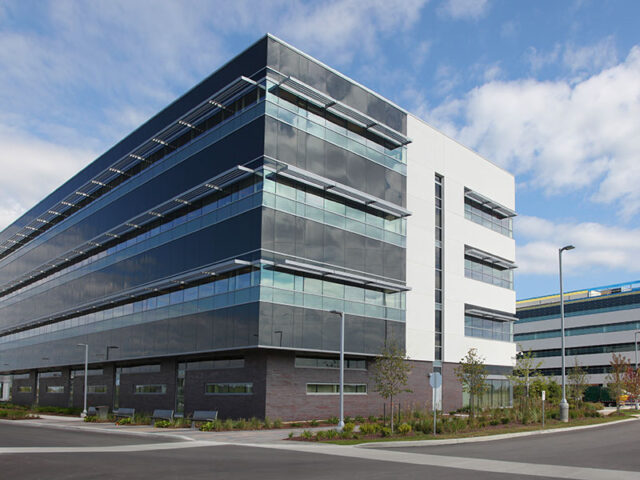 Cambradger University
 -
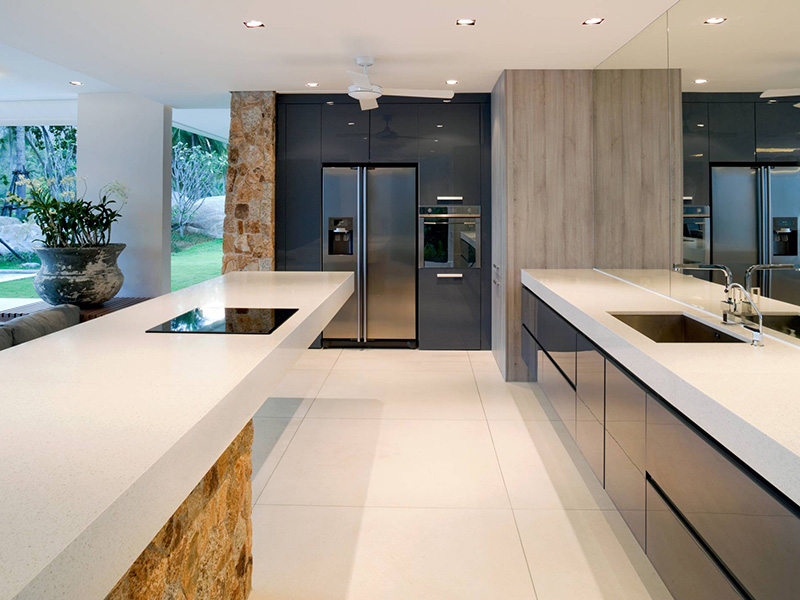
 Carlton Luxury Hotel
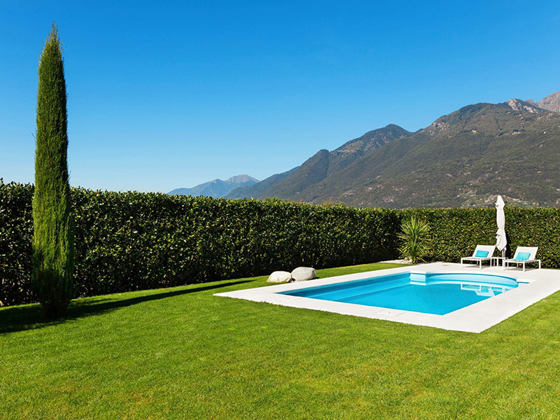
Green Building
-
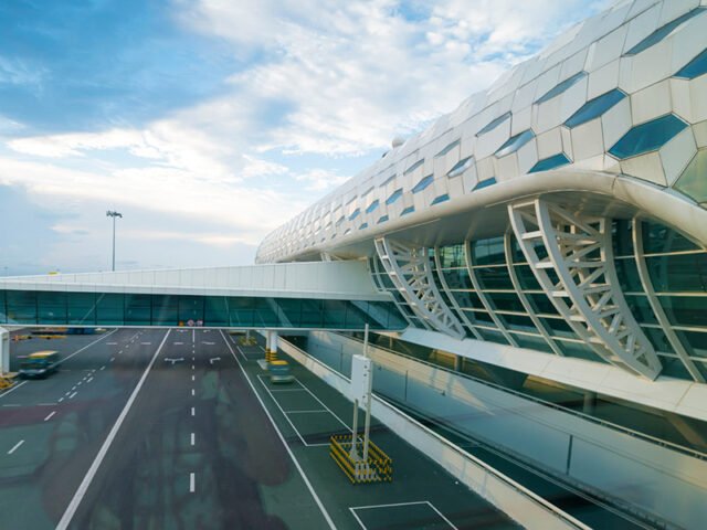 Heathrior Airport Terminal
Civil Engineering


Education
Green Building
Civil Engineering